
Nepal and India Agree to Survey Border Land Occupied by Citizens
english.ratopati.com · Sat Aug 15 12:45:00 GMT 2026
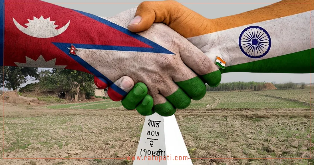
Kathmandu. Nepal and India will measure the land in the border areas that has been occupied by the citizens of each other. An agreement has been reached between the two countries to investigate the land that has been in the possession of each other. Earlier, Prime Minister Balen Shah had expressed that not only Nepal's land but also India's land has been encroached upon by Nepal. After Prime Minister Shah's statement, the Ministry of Foreign Affairs issued a statement clarifying the matter. According to the ministry, this situation has arisen because the 'fixed boundary principle' of considering rivers as boundaries while determining the Nepal-India border was adopted. This has led to 'cross-border occupation', creating a situation where citizens of one country cultivate and reside on land falling within the territory of the other country, the ministry clarified. The Ministry of Foreign Affairs has stated that the work of constructing and repairing border pillars is underway to manage and scientifically map the long border between the two countries. In addition, the work of removing encroachment in the no-man's land and collecting data on 'cross-border occupation' has also been expedited. According to the study conducted by technical committees, the ministry has clarified that in some places, land currently being used by Nepal may fall on the Indian side, and land being used by India may fall on the Nepali side. The Ministry of Foreign Affairs has clarified that Prime Minister Shah's statement in parliament is related to 'cross-border occupation'. It is on this cross-border occupied land that both countries have agreed to conduct measurements. This agreement was reached at the 13th meeting of the Committee of Survey Officers (SOC) held in Lucknow, India, yesterday. According to an official of the Survey Department, citizens of both countries have been encroaching on and occupying each other's land. The official said that an agreement has been reached to measure it using technology and submit a report to the government within three years. However, it has been stated that the land of Lipulek, Limpiyadhura, and Kalapani will not be included in this measurement. While determining the Nepal-India border, rivers were taken as the basis, and due to the change in course of many rivers over time, thousands of hectares of land have been displaced. This is the reason why disputes occasionally arise between citizens of both countries. It is stated that the SOC and the Joint Field Survey Team will measure these changed lands. It is believed that the report prepared from this will facilitate the resolution of border issues for both countries. The 'Nepal-India Committee of Survey Officers' was formed in 2014 with the agreement of the Prime Ministers of both countries to manage the border between Nepal and India and to construct and repair border pillars. Along with this, the 'Boundary Working Group' and the 'Joint Field Survey Team' have also been formed. Among these, the Nepal-India Committee of Survey Officers is the second-level mechanism. The committee has also decided to implement the decisions and reports prepared by the Boundary Working Group. In addition, an agreement was reached at the meeting regarding the committee's work plan and annual budget. According to the Survey Department, out of a total of 8,554 border pillars installed on the Nepal-India border, 1,325 are missing.
स्रोतमा पूरा पढ्नुहोस् (english.ratopati.com)